- Active Play
- Arts & Crafts
- Audio/Visual
- Bulletin Board Sets
- Charts
- Children’s Books
- Classroom Decorations
- Classroom Technology
- Creative Play
- Critical Thinking
- Early Childhood
- Furniture & Equipment
- Games
- Home School Materials
- Incentives & Motivators
- Interactive Whiteboard
- Math
- Multilingual
- Multimedia
- Posters
- Puzzles
- Reading/Language Arts
- Science
-
All Categories
- Active Play
- Arts & Crafts
- Audio/Visual
- Bulletin Board Sets
- Bulletin Board Sets-Mini
- Charts
- Children's Books
- Classroom Decorations
- Classroom Technology
- Creative Play
- Critical Thinking
- Early Childhood
- Furniture & Equipment
- Games
- Home School Materials
- Incentives & Motivators
- Interactive Whiteboard
- Math
- Multilingual
- Multimedia
- Music
- Paper
- Physical Education
- Posters
- Puzzles
- Reading/Language Arts
- Science
- Social Studies
- Special Needs
- Supplies
- Teacher Aids
- Teacher Resources
- Test Prep
Maps & Map Skills
Filters
- Active Play
- Arts & Crafts
- Audio/Visual
- Bulletin Board Sets
- Bulletin Board Sets-Mini
- Charts
- Children's Books
- Classroom Decorations
- Classroom Technology
- Creative Play
- Critical Thinking
- Early Childhood
- Furniture & Equipment
- Games
- Home School Materials
- Incentives & Motivators
- Interactive Whiteboard
- Math
- Multilingual
- Multimedia
- Music
- Paper
- Physical Education
- Posters
- Puzzles
- Reading/Language Arts
- Science
- Social Studies
- Special Needs
- Supplies
- Teacher Aids
- Teacher Resources
- Test Prep
Latest Products
-
 Soprano Recorder, Pack of 6
$28.12
 $41.94 -
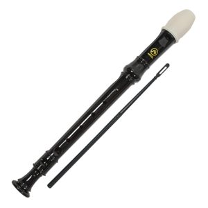 Soprano Recorder
$4.68
 $6.99 -
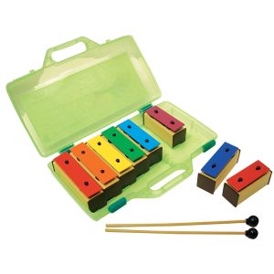 Resonator Bells, 8 Note
$50.74
 $61.18 -
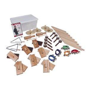 25-Player Elementary Music Kit
$182.45
 $250.15 -
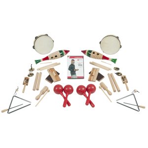 Sound Exploration Music Kit, 19 Pieces
$147.72
 $185.53
Showing 49–71 of 71 results
-
SKU: ASH95602Rated 0 out of 5
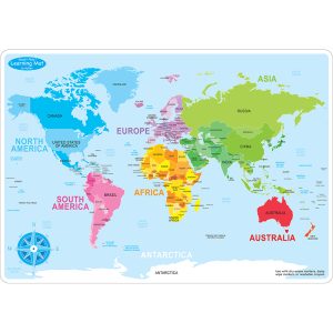
Heavy duty double-sided surface, no lamination required
Use with dry erase or water based markers and washable crayons
Water Resistant
Colorful designs on both sides -
SKU: NGMRE00620150Rated 0 out of 5
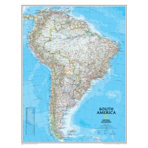
Expertly researched and designed, National Geographic’s South America Wall Map is the authoritative map of Europe by which other reference maps are measured.
Signature Classic style map with bright, easy to read color palette with blue oceans and colorful borders
Clearly defined international boundaries, cities, islands, airports, and physical features
The map is encapsulated in heavy-duty 1.6 mil laminate which makes the paper much more durable and resistant to the swelling and shrinking caused by changes in humidity. -
SKU: NGMRE00620152Rated 0 out of 5
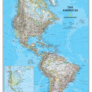
Expertly researched and designed, National Geographic’s The Americas Wall Map is the authoritative map of Europe by which other reference maps are measured.
Signature Classic style map with bright, easy to read color palette with blue oceans and colorful borders
Clearly defined international boundaries, cities, islands, airports, and physical features
The map is encapsulated in heavy-duty 1.6 mil laminate which makes the paper much more durable and resistant to the swelling and shrinking caused by changes in humidity. -
SKU: T-38098Rated 0 out of 5
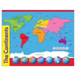
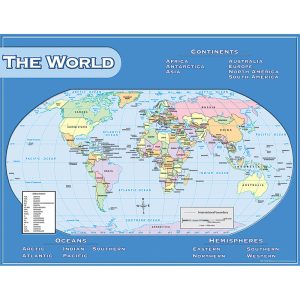
Color-keyed chart shows Earth’s continents and oceans.
Distance scale in miles and kilometers is included. Coordinates with individual continent charts.
Extra Value: Back of chart features reproducible activities, subject information, and helpful tips.
17″ x 22″ size appropriate for classrooms as well as smaller workspaces & home use. -
SKU: TCR21020Rated 0 out of 5
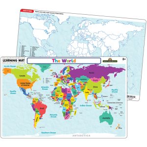
This interactive mat will make learning a fun experience for kids.
Use with dry-erase crayons. Do not use with regular crayons, markers, or dry-erase markers. Use a paper towel or cloth to clean dry-erase crayon marks.
Learning Mats can be fully cleaned with disinfecting wipes or with soap, warm water, and a non-abrasive sponge. Allow to dry completely before reuse.
BPA Free – Double sided -Rounded corners -
SKU: EMC3720Rated 0 out of 5
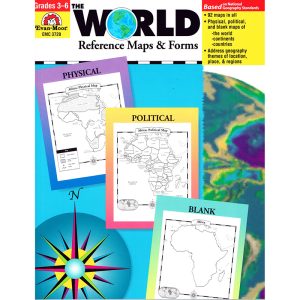
An introduction, listing the countries, area, population, elevations, and fun facts about the continent
This resource contains teacher support pages, reproducible student pages, and an answer key
112 pages
92 Maps -
SKU: CD-1336Rated 0 out of 5
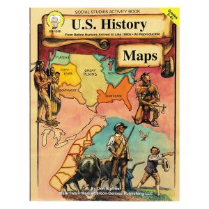
Maps for grades 5 and up
Covers topics such as the discovery of America, Spanish conquistadors, the New England colonies, wars and conflicts, westward expansion, slavery, and transportation
Maps are designed to be easily reproduced, projected, or scanned
Classroom activities and brief explanations of historical events are included -
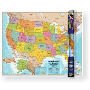
SKU: QS-9781423220817Rated 0 out of 5
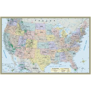
The wall map of the US measures 50″ x 32″, features colored states, and comes sealed with nonglare lamination to last for years. This wall map can be used with a water-soluble maker and wipes clean with a damp cloth.
Includes detailed topography-actual image of Earth’s surface
Labeled states, cities, and areas of interest for easy identification
City font size is based on population -
SKU: T-38097Rated 0 out of 5
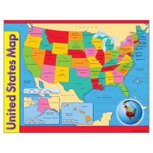
Map shows all 50 states including Alaska and Hawaii.
Inset globe shows Western Hemisphere. State capitals and key water features labeled.
Extra Value: Back of chart features reproducible activities, subject information, and helpful tips.
17″ x 22″ size appropriate for classrooms as well as smaller workspaces & home use. -
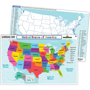
SKU: TCR21019Rated 0 out of 5
This interactive mat will make learning a fun experience for kids.
Use with dry-erase crayons. Do not use with regular crayons, markers, or dry-erase markers. Use a paper towel or cloth to clean dry-erase crayon marks.
Learning Mats can be fully cleaned with disinfecting wipes or with soap, warm water, and a non-abrasive sponge. Allow to dry completely before reuse.
BPA Free – Double sided -Rounded corners -
SKU: RWPWC06Rated 0 out of 5
Colorful laminated wall map
Inactive with 100’s of facts
Free app included
Measures 32″ x 40.5″ -
SKU: TCR7657Sale
US Map Chart
Rated 0 out of 5Convenient, useful learning tools that decorate as they educate!
Each chart measures 17″ by 22
Related lessons and activities are provided on the back of every chart. -
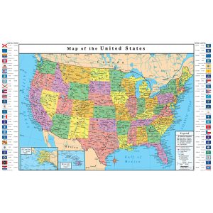
SKU: RE-72116Rated 0 out of 5
Replogle 33″ x 49″ USA Map is durable and framed by the flags of all 50 states
Includes Flags of all the states in the United States
All colors correspond and match colors on Replogle educational globes to help reinforce geographic location learning
Printed on gloss finished durable paper with multi-colored state demarcation -
SKU: QS-220534Rated 0 out of 5
Extremely detailed boundaries and coastlines of the United States and state capitals
Perfect for students of all ages and anyone interested in expanding their knowledge of the United States and the World.
Classroom bonus the large wall map can be used for the whole class while students reference their individual maps at their desks (lamination makes for durable classroom sets) -
SKU: NGMRE00622007Rated 0 out of 5
Signature Classic style map with bright, easy to read color palette with blue oceans and colorful borders
Background shows mountain ranges and valleys in subtle shaded relief with mountain ranges labeled
Major water bodies including rivers, lakes, glaciers, oceans, seas, gulfs, bays, straits, and bathymetry
Clearly defined international boundaries, cities, islands, airports, and physical features -
SKU: RWPHMD01Rated 0 out of 5
Colorful world map desk mat is handy for reference and décor, fits right under a computer, and also acts as a mouse pad
Durable Laminate Surface
Soft Foam Base
Comfortable resting surface for your hands while writing, typing or using the mouse -
SKU: TCR7658Sale
World Map Chart
Rated 0 out of 5Convenient, useful learning tools that decorate as they educate!
Each chart measures 17″ by 22
Related lessons and activities are provided on the back of every chart. -
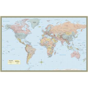
SKU: QS-9781423220831Rated 0 out of 5
Includes detailed topography-actual image of Earth’s surface
Labeled countries, cities, and areas of interest for easy identification
City font size is based on population
High-quality, non-glare lamination to last for years -
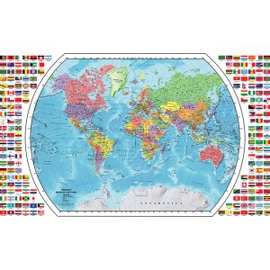
SKU: RE-72110Rated 0 out of 5
Replogle 33″ x 49″ World Map is durable and beautifully framed by all the corresponding flags of the world
Includes Flags of all the countries of the world
All colors correspond and match colors on Replogle educational globes to help reinforce geographic location learning
Printed on gloss finished durable paper with multi-colored country demarcation -
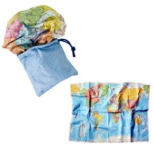
SKU: RWPSM01Sale
World Scrunch Map
Rated 0 out of 5Everyone must have this fun and unique learning tool
No folding required
Water and tear resistant
Lasts much longer than paper maps -
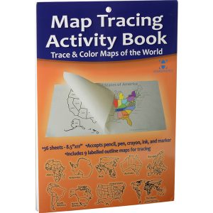
SKU: RWPTA01Rated 0 out of 5
Activity book to help your child learn where countries and continents of the World are located.
This activity book includes 36 perforated sheets of 8.5″ x 11″ tracing paper.
Tracing paper accepts pencil, pen and markers.
Continents, Countries and US States are labeled. -
SKU: RE-72164Rated 0 out of 5
These maps are re-positional, safe for walls, and leave no sticky residue
Printed on peel and stick repositionable media
Great for decorating and educating
Map measures 24 inches L x 16 inches H -
SKU: RE-72162Rated 0 out of 5
These maps are re-positional, safe for walls, and leave no sticky residue
Printed on peel and stick repositionable media
Great for decorating and educating
Map measures 42 inches L x 30 inches H
Showing 49–71 of 71 results

