- Active Play
- Arts & Crafts
- Audio/Visual
- Bulletin Board Sets
- Charts
- Children’s Books
- Classroom Decorations
- Classroom Technology
- Creative Play
- Critical Thinking
- Early Childhood
- Furniture & Equipment
- Games
- Home School Materials
- Incentives & Motivators
- Interactive Whiteboard
- Math
- Multilingual
- Multimedia
- Posters
- Puzzles
- Reading/Language Arts
- Science
-
All Categories
- Active Play
- Arts & Crafts
- Audio/Visual
- Bulletin Board Sets
- Bulletin Board Sets-Mini
- Charts
- Children's Books
- Classroom Decorations
- Classroom Technology
- Creative Play
- Critical Thinking
- Early Childhood
- Furniture & Equipment
- Games
- Home School Materials
- Incentives & Motivators
- Interactive Whiteboard
- Math
- Multilingual
- Multimedia
- Music
- Paper
- Physical Education
- Posters
- Puzzles
- Reading/Language Arts
- Science
- Social Studies
- Special Needs
- Supplies
- Teacher Aids
- Teacher Resources
- Test Prep
Maps & Map Skills
Filters
- Active Play
- Arts & Crafts
- Audio/Visual
- Bulletin Board Sets
- Bulletin Board Sets-Mini
- Charts
- Children's Books
- Classroom Decorations
- Classroom Technology
- Creative Play
- Critical Thinking
- Early Childhood
- Furniture & Equipment
- Games
- Home School Materials
- Incentives & Motivators
- Interactive Whiteboard
- Math
- Multilingual
- Multimedia
- Music
- Paper
- Physical Education
- Posters
- Puzzles
- Reading/Language Arts
- Science
- Social Studies
- Special Needs
- Supplies
- Teacher Aids
- Teacher Resources
- Test Prep
Latest Products
-
 Soprano Recorder, Pack of 6
$28.12
 $41.94 -
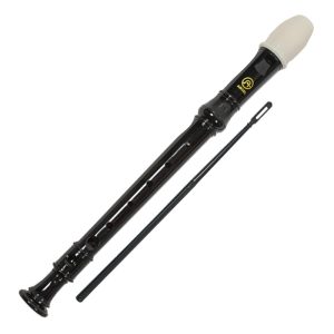 Soprano Recorder
$4.68
 $6.99 -
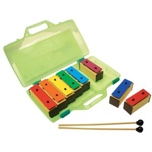 Resonator Bells, 8 Note
$50.74
 $61.18 -
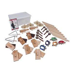 25-Player Elementary Music Kit
$182.45
 $250.15 -
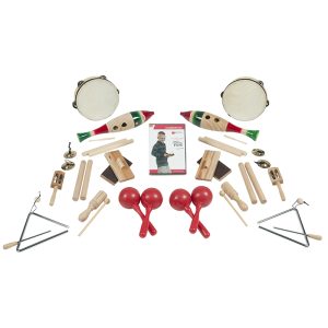 Sound Exploration Music Kit, 19 Pieces
$147.72
 $185.53
Showing 1–24 of 71 results
-
SKU: UNI16532Rated 0 out of 5
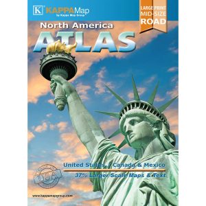
2022 North America Mid-Size Large Print Road Atlas offers colorful maps of the United States, Canada and Mexico
The compact, 8″ x 10-7/8″ format makes this book the perfect match of portability and functionality
Same-page city indexing
152 Pages -
SKU: NGMRE00620142Rated 0 out of 5
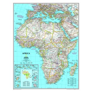
Expertly researched and designed, National Geographic’s Africa Wall Map is the authoritative map of Asia by which other reference maps are measured.
Signature Classic style map with bright, easy to read color palette with blue oceans and colorful borders
Clearly defined international boundaries, cities, islands, airports, and physical features
The map is encapsulated in heavy-duty 1.6 mil laminate which makes the paper much more durable and resistant to the swelling and shrinking caused by changes in humidity. -
SKU: NGMRE00620144Rated 0 out of 5
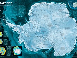
National Geographic Antarctica Satellite Wall Map has a striking view of Antarctica’s terrain, compiled from 4,500 satellite scans
Additional inset maps show surface elevation, ice sheet thickness, velocity of ice flow, and sea ice movement and windflow.
The map is encapsulated in heavy-duty 1.6 mil laminate which makes the paper much more durable and resistant to the swelling and shrinking caused by changes in humidity.
Measures 31.25″ x 20.25″ -
SKU: NGMRE00620145Rated 0 out of 5
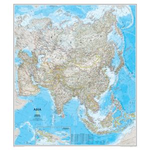
Signature Classic style map with bright, easy to read color palette with blue oceans and colorful borders.
Background shows mountain ranges and valleys in subtle shaded relief with mountain ranges labeled.
Major water bodies including rivers, lakes, oceans, seas, gulfs, bays, straits, and bathymetry.
Clearly defined international boundaries, cities, islands, airports, and physical features. -
SKU: TCR7652Sale
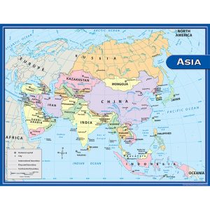
Asia Map Chart
Rated 0 out of 5Convenient, useful learning tools that decorate as they educate!
Each chart measures 17″ by 22
Related lessons and activities are provided on the back of every chart. -
SKU: NGMRE00620146Rated 0 out of 5
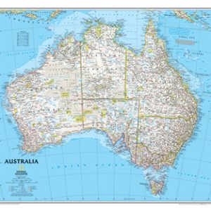
Expertly researched and designed, National Geographic’s Australia Wall Map is the authoritative map of Asia by which other reference maps are measured.
Signature Classic style map with bright, easy to read color palette with blue oceans and colorful borders
Clearly defined international boundaries, cities, islands, airports, and physical features
The map is encapsulated in heavy-duty 1.6 mil laminate which makes the paper much more durable and resistant to the swelling and shrinking caused by changes in humidity. -
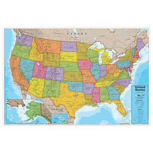
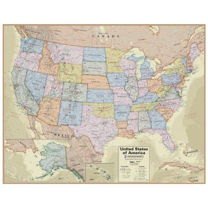
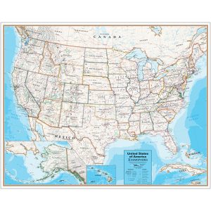
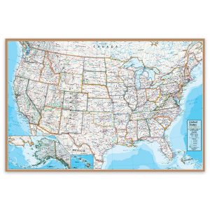
SKU: RWPHM02Rated 0 out of 5
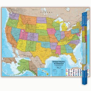
Map is laminated for future use year after year
Measures 38″ x 48″
Features capitals, cities, populations, and major interstates
Colorful -
SKU: RWPHM02-2Rated 0 out of 5
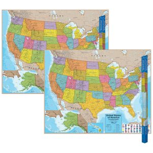
Map is laminated for future use year after year
Measures 38″ x 48″
Features capitals, cities, populations, and major interstates
Colorful -
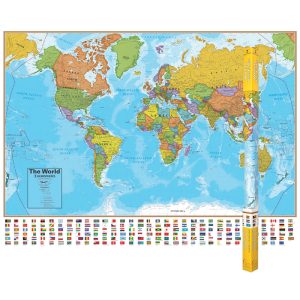
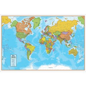
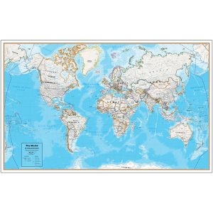
SKU: RWPHM01Rated 0 out of 5
Map is laminated for future use year after year
Measures 38″ x 51″
Features country capitals, populations and flags
Colorful -
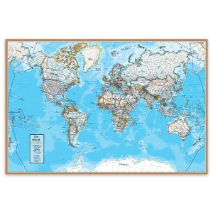
SKU: RWPHM01-2Rated 0 out of 5
Map is laminated for future use year after year
Measures 38″ x 51″
Features country capitals, populations and flags
Colorful -
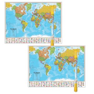
SKU: RWPHMB02PKRated 0 out of 5
Includes 2 laminated maps
World map measures 38″ x 51″, USA map measures 38″ x 48″
Features capitals, cities and populations
Colorful -
SKU: RWPWG11Rated 0 out of 5
Laminated
Map measures 24″ x 36″
Blue ocean wall map is great for room or office décor
Detailed current mapping -
SKU: RWPWG10Rated 0 out of 5
Laminated
Map measures 24″ x 36″
Blue ocean wall map is great for room or office décor
Detailed current mapping -
SKU: RWPHM04Rated 0 out of 5
Modern antique decorative style
Up-to-date cartography and points of interest
Includes states, capitals and more
Perfect for display in home or office -
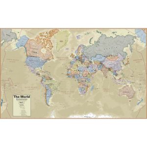
SKU: RWPHM03Rated 0 out of 5
Modern antique decorative style
Up-to-date cartography and points of interest
Includes countries, capitals, major cities and more
Perfect for display in home or office -
SKU: RWPHM09Rated 0 out of 5
Great for teaching in the classroom
Write On Wipe Off feature
Map is Laminated
Measures 38″H x 48″W -
SKU: RWPHM08Rated 0 out of 5
Great for teaching in the classroom
Write On Wipe Off feature
Map is Laminated
Measures 38″H x 61″W -
SKU: RWPWG15Rated 0 out of 5
Laminated
Map measures 24″ x 36″
Contemporary style wall map is great for room or office décor
Detailed current mapping -
SKU: RWPWG14Rated 0 out of 5
Laminated
Map measures 24″ x 36″
Contemporary style wall map is great for room or office décor
Detailed current mapping -
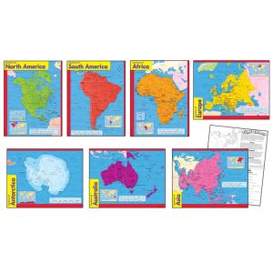
SKU: T-38930Rated 0 out of 5
Bold, easy-to-read design and handy size make this map set useful in classroom, office, and beyond.
Includes continents of Africa, Antarctica, Asia, Australia, Europe, North America, South America.
Extra Value: Back of charts feature reproducible activities, subject information, and helpful tips.
17″ x 22″ size appropriate for classrooms as well as smaller workspaces & home use. -
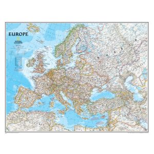
SKU: NGMRE00620147Rated 0 out of 5
Signature Classic style map with bright, easy to read color palette with blue oceans and colorful borders
Background shows mountain ranges and valleys in subtle shaded relief with mountain ranges labeled
Major water bodies including rivers, lakes, glaciers, oceans, seas, gulfs, bays, straits, and bathymetry
Clearly defined international boundaries, cities, islands, airports, and physical features -
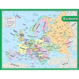
SKU: TCR7654Sale
Europe Map Chart
Rated 0 out of 5Convenient, useful learning tools that decorate as they educate!
Each chart measures 17″ by 22
Related lessons and activities are provided on the back of every chart. -
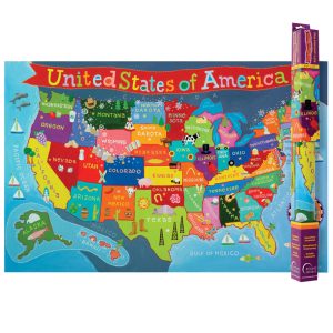
SKU: RWPKM02Rated 0 out of 5
Bring color and fun to your child’s wall with this beautiful USA map
Laminated map measures 24″ x 36″
Grade PK+
It is solidly laminated for long time enjoyment -
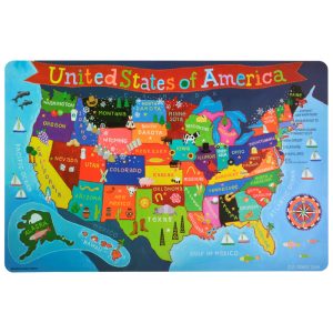
SKU: RWPKPM02Sale
Kid’s USA PlaceMap
Rated 0 out of 5Printed on tested safe sturdy material
Easy to wipe and clean with a damp cloth
Make meal time, fun time!
Colorful Mapping
Showing 1–24 of 71 results

